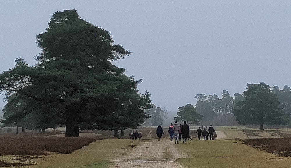
For many of us it will be time to look back at the excesses of Christmas and think about a healthier new year. An opportunity to walk off all of those extra calories. This new year trip of the month is a walk from Beaulieu Road station to Deerleep. This walk is a linear walk of 9 km (5.6 miles). This is one of the forest walks that is suitable for winter time. I did the walk on 27 December 24 to check that the footpaths are all passable and it was fine, a bit misty though. For a description of the area please look at this site here which gives a better description than I could.
This is not a strenuous walk and mostly on the flat however please read the preparation information at the bottom of this page. I did this walk at a fairly brisk pace and it took me about 2 hours with a break for coffee and pauses to write these notes.
There are direct trains from Sway to Beaulieu Road station which run every 2 hours. Train times can be found here.
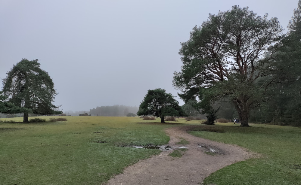
Here are the details of the walk.
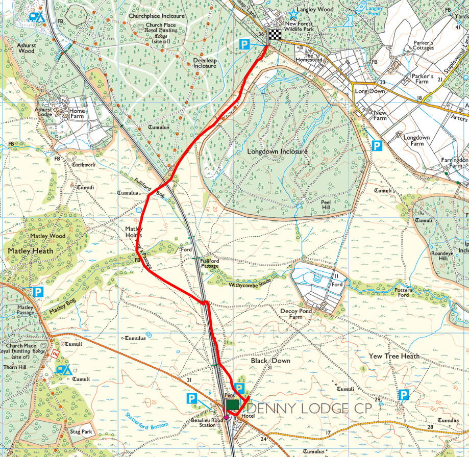
Leave the station from the platform and carefully cross the road bridge. on reaching “The Drift” public house on the other side of the bridge, cross the road and follow a track signposted to Decoy Pond Farm. The railway line should be on your left.
Turn left after about 100m (when you reach the gate). The pony pens will be on your left. After about 400m you’ll see the first footbridge over the line and it’s closed. Keep going, following the railway line.
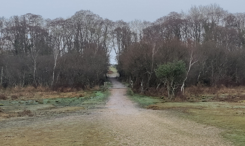
After another 500 m cross under the railway line. As you emerge, head diagonally off to the right on “King’s Passage.” The track passes through some trees into the next field where the track curves round to the right. Cross the field on the track over “Matley Holms.”
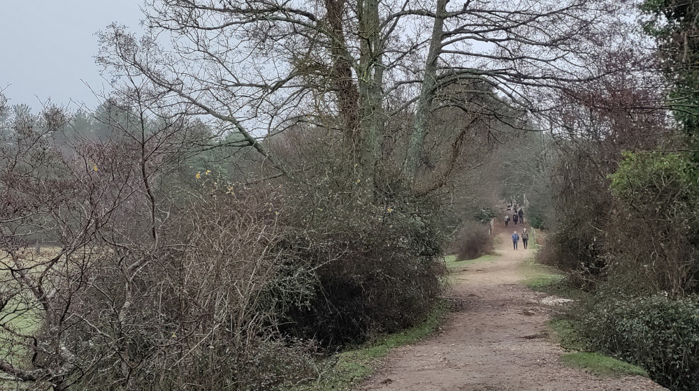
When you reach the railway line again at Fulliford, cross over the line (over 2 bridges) into the next field. After crossing the line the track curves off to the left. Follow the clearly defined track (for about 1.5 km) all the way to Deerleap car park. This is the furthest point of the walk.
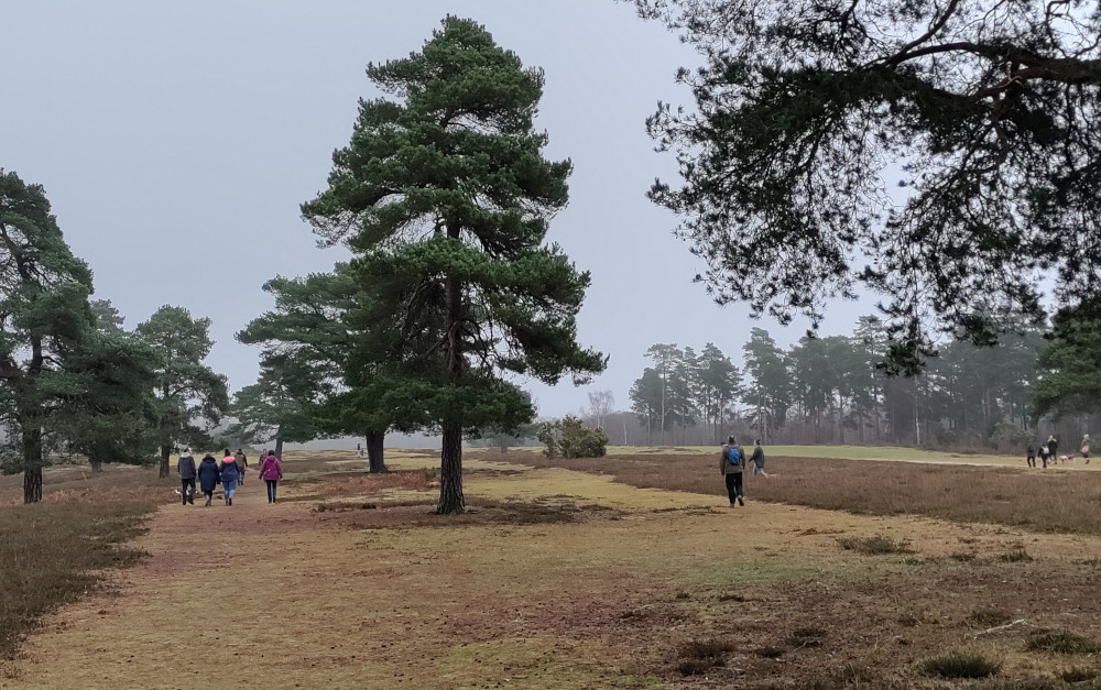
If you have time you might like to continue out to the road and on the other side is the “New Forest Wildlife Park.”
Heading back, follow the track back to the bridge over the railway line. Cross the railway bridge and the second bridge over “Fulliford Bog”. You quickly hit a fork. Take the left track over “Matley Holms.”
When you reach the edge of the field pass over the two bridges between the trees and follow the track (King’s Passage) as it curves off to the left.
When you reach the railway line you can go back under the bridge and retrace your steps back to the station or, for a bit of variety, follow the line with the line to your left. The track will take you all the way back to the station.
At the end of the walk you might like to drop into “The Drift” for a drink or a bite to eat before catching the train back to Sway.
Preparation
Although not a strenuous walk, this is 5.5 miles. Please be sure that you are capable of a walk of this distance (and on terrain which is not even). If you prefer to do a shorter walk then you can always turn around at any point on the walk and retrace your steps.
The walk is on a mixture of gravel tracks and grass. The tracks are quite good however if there has been a few days of persistent rain then the tracks can become more difficult with muddy patches. Please wear a good pair of waterproof all weather walking shoes. Please also have some extra layers of warm clothing available.
Apart from at the start and end there are no places to buy refreshments or to have the use of other facilities. It’s worth taking some refreshments and perhaps a packed lunch with you. Please also make sure your phone is fully charged in case you get into any difficulties.
If you’re not familiar with the area and manage to get lost then please use Google maps on your phone to help you get back. This walk mostly follows the railway line and this is marked on Google maps. Google maps doesn’t have a lot of detail. If you have one of the many walking apps on your phone then these are probably going to give you better mapping facilities.